According to one senior PATC-Charlottesville official, speaking on condition of anonymity, “Reports of our hike’s demise have been greatly exaggerated.” Thus can be summed up the reactions of participants concerning dire weather prognostications which had necessitated a change of venue from the originally scheduled Mount Pleasant/Cold Mountain circuit in Amherst County to a quest for waterfalls in Shenandoah National Park.
Part One – The Rose, By Any Other Name...
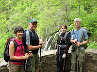
Eight avid hikers cast caution to the wind as they joined hike leader Ken Moss in assembling at Albemarle High School and then departed under grey skies for the Central District of Shenandoah National Park. The predictions of impending doom seemed to bare fruit as our vehicles assaulted the eastern ramparts of the Blue Ridge, socked-in by heavy fog. The resultant limited visibility seemed to confirm our decision to forego the much longer drive to the Mount Pleasant National Scenic Area in George Washington National Forest.
 |
| Rose River Fire Road |
Upon entering the park, in response to a question from the ranger on duty if we needed anything, President and Omnipotent Leader Lindsay Brown responded jokingly with, “Yes, some clear skies!” The ranger only smiled in return. But within 500 yards of entering Skyline Drive we broke out of the fog, revealing the rolling green terrain of the Valley to the west. Most of the drive northward was in the clear, even with hints of sunshine, and we saw several deer as we rode by Big Meadows, but we then entered a thick cloud, making it difficult to even find the turn-off into the parking area at Fishers Gap Overlook.
 |
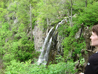
| Dark Hollow Falls |
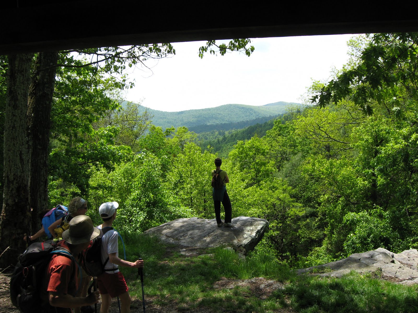
The hike turned out to be uneventful as we initially descended along the Rose River Fire Road to the sturdy metal bridge across Hogcamp Branch. After a quick group photo, we headed a short distance up the Dark Hollow Falls Trail to reach the base of that waterfall. The fog was heavy at this point, with the top of the falls almost obscured. We then retraced our steps back to the bridge, where we left the fire road and continued to descend along the Rose River Loop Trail. Following a long descent, we recrossed Hogcamp Branch on a picturesque arched bridge, before joining the Rose River shortly afterward and beginning our ascent.
 |
| Rose River Loop Trail |
The trip back to Fishers Gap was a steady, but moderate climb. A major point of discussion along the way was whether to make an attempt to visit the abandoned copper mine which John Shannon, Don Davis and Ken had bushwhacked to during our previous trip in July 2010. John and Ken had the location plotted on their GPS devices and were wondering if a less arduous route could be found which wouldn’t require such a difficult climb. Finally, in a commendable demonstration of democracy at work, the majority ruled that such an attempt would not be made on this trip, and we continued the hike. Along the way we noted many potential swimming holes for future exploitation during summer hikes before finally arriving back at the cars after slightly more than two hours on the trail.
 |
| Hogcamp Branch |
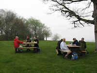
According to plan, we then drove to Big Meadows for lunch before continuing on to the Lewis Falls Trail. We found two picnic tables between the Byrd Visitor Center and the Wayside overlooking the meadow and broke out our lunches. Many took advantage of the camp store at the Big Meadows Wayside to purchase drinks. Ken brought back a bag of Route-11 potato chips, claiming he just wanted to support the regional economy. The “puffed up” (inflated) condition of the bag elicited comments from Lindsay, who was dubious about Ken’s explanation about altitude and air pressure. Lindsay picked up a Gatorade while Marian Styles purchased a Rockstar © Energy Drink, claiming that she had been dragging all morning.
 |
| Big Meadows |
Following lunch, as we returned to the cars with our digestive functions kicking-in, accompanied by the inevitable urge for a post-lunch siesta, the discussion turned to whether we should continue with the planned hike to Lewis Falls or consider ourselves fortunate to have avoided rain to this point and pack it in for the day. Several hikers mentioned that a nap sounded like a good idea, while Stuart Brown expressed an interest in seeing his son. Lindsay immediately jumped at the opportunity to serve his fellow man by volunteering to drive those so inclined back to Charlottesville, courageously foregoing his remaining day on the trail in a moving demonstration of self-sacrifice (wink, wink). Don, Stuart and Dan Funkhouser thus joined Lindsay, as Leon Gorman also left, as planned, with Bailey. Those in Ken’s car, including John, Marian and Marie Moss, debated their own course of action, eventually deciding to follow suit and return to Charlottesville as well.
Part Two – The Adventures of Wonder Woman
As soon as the hike leader’s car left the parking lot to head back to Charlottesville, Marian suddenly expressed doubts about what she had done with her wallet, so we quickly pulled off of Skyline Drive to verify that it was in her backpack. By chance, we had actually pulled into the small parking lot at the Lewis Falls Trailhead, our erstwhile destination. The other two cars drove by with quizzical looks from the occupants, but we waived them past with assurances that we would soon be on the road again behind them. We had gotten back into the car, ready to resume our return, when Marian suddenly exclaimed, “You know, I feel like hiking some more now…that energy drink really picked me up!”
 |
| Lewis Falls |
After a short discussion, during which the embarrassment of only hiking 4 miles was mentioned, it was determined to continue with the original plan and do the 3.3 mile Lewis Falls circuit. As soon as we hit the trail Marian took the lead, setting a blistering pace and eliciting surprised remarks from those struggling to keep up with her. Simultaneously, the sun actually came out, and we spent much of the rest of the day under partially sunny skies. The steep descent along the Lewis Springs access road finally crossed the AT (our return route) and became the Lewis Falls Trail.
 |
| Lewis Falls |
Upon arriving at Lewis Falls we continued to the observation platform, from which we admired the 81’ plunge of the cascade and found someone to record the moment for posterity (and proof!) with a group photo. We then continued to descend the Lewis Falls Trail for a bit before beginning the long, challenging climb back up toward the Big Meadows Lodge area over the rocky trail, passing many day strollers from the Lodge out for a walk in the woods, whose ability to make the climb back out we questioned.
 |
Wonder Woman -
post-Rockstar Energy Drink |
At one point, Marian noticed a crooked tree by the trail and determined that she absolutely had to climb it, her bubbly spunk likely due to the Rockstar © Energy Drink still doing its job. Thus sprang the legend of her transformation into Wonder Woman, able to climb tall trees with a single bound (and the assistance of her two burly boy-toy companions…once again proving the value of men’s strong backs and weak minds). Following this momentous exploit, the remainder of the hike passed without further incident, and we returned to the car via a pleasant jaunt along the AT.
Immediately upon returning to the car and heading south along Skyline Drive, the sun disappeared and the fog rolled back in. A short stop at Timberwood Grill on the return, allowing Marie to regain her car, permitted time for well-earned refreshments on the terrace. Only then did it finally begin to rain, as we raised our glasses to toast our exploits and good fortune, smugly admiring the falling torrent from the comfort of our terrace table.


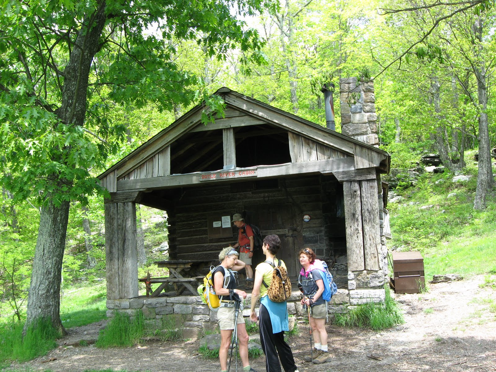
 Once we intersected the Doyles River Trail we split up for a while to try and determine where Dan might be. Ken and Lindsay stayed at the intersection and the others went on to the lower falls to enjoy a rest and lunch. We were lulled by the cascading water until the others rejoined us. From here we continued on the Doyle River Trail. We met many other hikers now, as this is a very popular trail. Many pools of water invited us to swim, but we held off knowing the spring water temperatures would be a little too frigid yet.