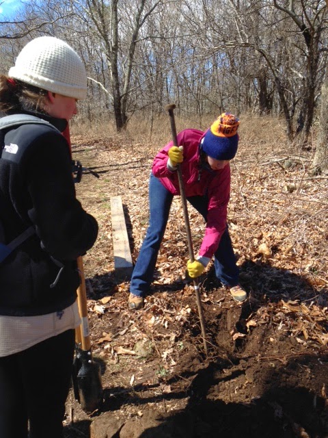
Bill Holman provided a day hike with take home knowledge and giveaways to help hikers deal with the potential dangers associated with tick bites. He provided a hand out with information about tick safety as well as a permethrin spray for clothing that greatly reduces the chances that ticks will get to your skin. With Bill, Iva Gillet and Brad Young already hiking with clothing treated with permethrin, Bill distributed spray bottles of the mixture to all hikers who wanted them, so that they could spray their own clothes and minimize tick bites.
For the hike Bill chose a bushwhack to a symmetrical peak that could be seen from the AHS parking lot - Cedar Mountain. A direct approach from the Skyline Drive near Blackrock would result in a 3+ mile out and back hike, with an option of bushwhacking down to the Jones Run Trail and falls, making a 5 mile circuit. The group included first time hiker and recent arrival from Boulder, CO Bill Crane, who was with his niece Jenny Gibbs. Also along for the hike were David Carter, Christine Ballard, Virginia Masterson, Lisa Lampe and the hiking dog Max, as well as John Sinclair. Rounding out the field were John Shannon, Marian Styles, Brian Muszynski, Brad Young and CJ Woodburn.
Departing from Blackrock Summit parking, we headed out on an old fire road through the rhododendron forest to Via Gap where the Via Cemetery can be found. After a short break we began the bushwhack part of the hike toward the summit of Cedar Mountain. John Sinclair turned back in order to make an afternoon appointment. Bill led the way, as folks picked their way up the mountain, around veins of rock, under tree branches, climbing through the leaves with no trail. CJ located a rock outcropping and most of us settled in to enjoy the view, taking a break after the climb. Brad, Brian, Bill and John Shannon continued to the top, admired the limited view and then joined the rest of the group at the rock outcrop. We decided to enjoy lunch here, soaking up the 180 degree view of the Blue Ridge to the west. We also feasted on snacks of brownies and lemon pound cake provided by Iva. After lunch, Brad and Brian decided to began a bushwhack from the top of Cedar Mountain to Jones Run Trail for a longer bushwhack and off they went. Meanwhile, Bill led the rest of the group back toward the Via Gap which was when the tail end of the group encountered an unanticipated side trip.
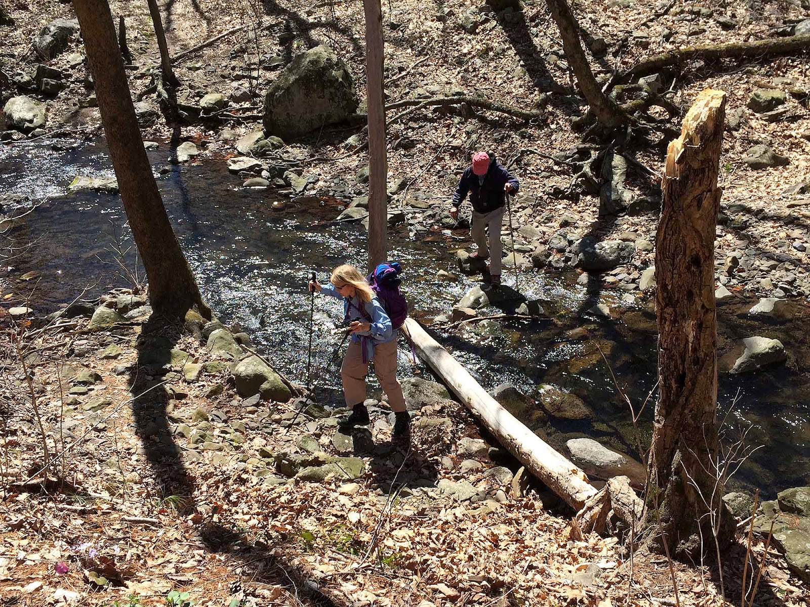
While Bill H, Bill C, John, and Marian returned via a direct bushwhack, the rest of the group drifted off that route. While carefully working on the descent, dodging rocks, roots, branches, and steep footing, the tail end of the group worked their way too far west. The group convened and sweep Iva pulled out her smart phone with the new to her PATC SNP trails app. However, she has never been trusting of such devices. It indicated their location to be off track, but using visual sightings of a grassy, green strip in front of them at the base of Cedar Mountain, she suggested they descend to what HAD to be where they needed to go to meet the others, despite the GPS indication that it was not the correct spot on the map. Knowing electronic devices can be evil and lie (as computers are known to do), there were no worries, since the grassy field matched where they assembled prior to the ascent. It was then that Marian called Iva on her cell to see where the rest of the group was. Iva assured her that they were on the way down. While the cell service was erratic, no matter, as the group approached the corner of the woods and grass. However, the building there was NOT the one they had departed from… so at last Iva relented to go with the direction indicated by the GPS. The woods here was much more overgrown and denser than had been on the climb, causing for even slower travel and several scratches. Everyone slogged on admirably grateful for a beautiful day, despite being clearly off course. Finally crossing a small stream, the group walked along the woodline in the grass, making travel much easier. At this point, hike leader Bill was trying to contact his wayward sweep Iva by using a whistle, since the cell phone service was inadequate. Following the sound back to the cemetery at Via Gap, the groups were again reunited. It just shows how boring it can be to take the direct route, since they had to wait close to an hour for the rest to join them. After another snack/lunch break and treating the bleeding wounds from the briars, the entire group decided to forego another bushwhack to Jones Run and head directly to Blue Mountain Brewery for some sustenance. Poor Brian and Brad would much later find the group there, after waiting at the falls and finally giving up, returning to their car.
In the end, we learned a few lessons:
* Permethrin can cut down on tick bites
* Bill bushwhacks too fast
* Iva doesn’t trust her GPS, but will next time…maybe
* Hikers are tough souls who have to be flexible
* Whistles can be very handy in the woods
* Brad and Brian like to take the long way home
* Food and beer taste better when you have been off course
* We all love being in the SNP enjoying a group hiking adventure!




.JPG)
.JPG)